Sunday, July 31, 2005

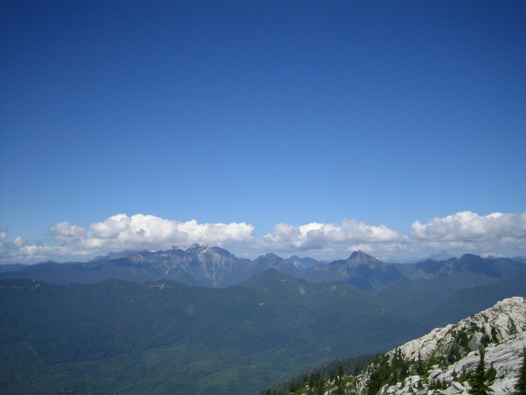
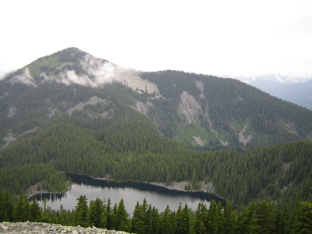
Glacier peak can be seen on the trail.
Tranquillity
The green color comes from the green rocks.
Like a mirror
Amazingly green
Blanca Lake

Blanca Lake

Jul 30, 2005 Saturday
8 miles, 3400ft accumulate elevation gain
9:45->11:15->2:00 --- 3:00->4:45->6:15

Yanda and Husam hiked together with me this time. We left Yanda's home in Kenmore about 9:45. It took us one and a half hour to drive to the trail head. At 11:15, the hike began. It was really hard to climb the steep trail in the forest. Glad to have Husam with us, who was willing and really really capable of carrying a heavy bag. We arrived the amazingly green Blanca lake at 2:00pm. Had a well deserved lunch and enjoyed the lake for one hour. Heading back was easier. We left Blanca lake at 3:00 and was back about 4:45.

Blanca lake, with its unblievable greenness, is the second most beatiful lake only following the Crater Lake in Oregon. Hikers around Seattle defintely should come to have a look.

Thursday, July 28, 2005

View when we came back.
A slab on the trail.
Pudget sound and San Juan Islands
Mt. Rainier is in the south direction.
Glacier Peak?
Cloudy could be very bad.
The lookout house on the every peak.
Pilchuckpeak on the trail up.

Wednesday, July 27, 2005

Mt. Pilchuck

6 miles round trip and 2400ft elevation gain. Hiked again on Jul. 23, 05.

Yang Mei and Cheng Fang, both of them graduate students of U. W., joined us (JiaLi, Jing Zhong and I) to hike Mt. Pilchuck.

We gathered at Kenmore P&R around 9:45. Began to hike about 11:30. Whether was much better this time. We had more breaks on the way up to enjoy the views, although they were still elusive.

Around 2:00pm, we reached the peak. It was till very cloudy. One could hardly see the valley. We were prepared to have another disappointment.

During lunch time, cloudy began to fade away. It was absolutely joyful to see snow capped mountains showing up behind cloudy here and there. Around 3:00pm, Olympia Range, Pudget Sound, San Juan Islands were visible in the west. Hikers were taking pictures of Mt. Rainier in the south. In the east, Glacier Peak was very clear. It was one of the best views I ever had in so many hikes. We headed back at 3:20pm. It was a pity that we could not stay longer because I had a party appointment at 7:00pm.

Sunday, July 10, 2005

Stones form a great scene.
Wild flowers besides the trail. The red ones are Indian Paintbrush.
Mason Lake can be seen on the trail to the summit of Bendera mountain.
Bear grass flower are all over the slope
View of I90.

Bendera Mt.

7 miles round trip with an elevation gain of 3040ft.

This is the second time I hiked Bendera Mt.. The first time was last year at May 9. Whether was good. View was spectacular when there was still a lot of snow. On that trip, we met Charlie and Jin Zhong. Since then we began to hiking together a lot.

Today, we (Jin Zhong, Jiali and I) started to hike around 10:30 and reached the summit at 1:15. We headed back around 1:30 and came back around 3:20. Although it was cloudy and raining sporatically, view of the mountains around and I90 below was not bad. On the steep and clear slope, there are many many wild floweres with various colors.

The whole trail is not that hard except the steep and clear slope. That slope cuts straight up the mountain. One gains 1800ft in elevation in 1.5 mile on that slope.